day 20: ANTELOPE ISLAND 🚲 👟5.26.19 by Tara Scieszinski

-MEAntelopeIsland_1.JPG

ANTELOPE ISLAND

👟

🚲

May 26, 2019: ANTELOPE ISLAND STATE PARK | Salt Lake, UT • 🚲👟

Antelope island lies in the Great Salt Lake. There are a tremendous amount of great MTB trails in the Wasatch Mountains but they were still buried in snow so we opted for this ride. It was gorgeous; I kept saying it felt like the Lion King met Ireland.. rolling green hills with tall choppy rock that Simba was baptized upon. The only downside were the swarms of biting gnats we rode through.. you had to keep moving or you would get eaten alive.. which kept us motivated. Fortunately we found a great place with great views to take a break mid ride where the wind was blowing which kept them at bay.

climb: 2173 ft | distance: 20.1 mi

day 19: AMASA BACK to HURRAH PASS 🚵🏻‍♀️ 5.25.19 by Tara Scieszinski

-MEHoorahPass2.JPG

MOAB, UT

May 25, 2019: Amasa Back to Hurrah Pass | Moab, UT • 🚵🏻‍♀️

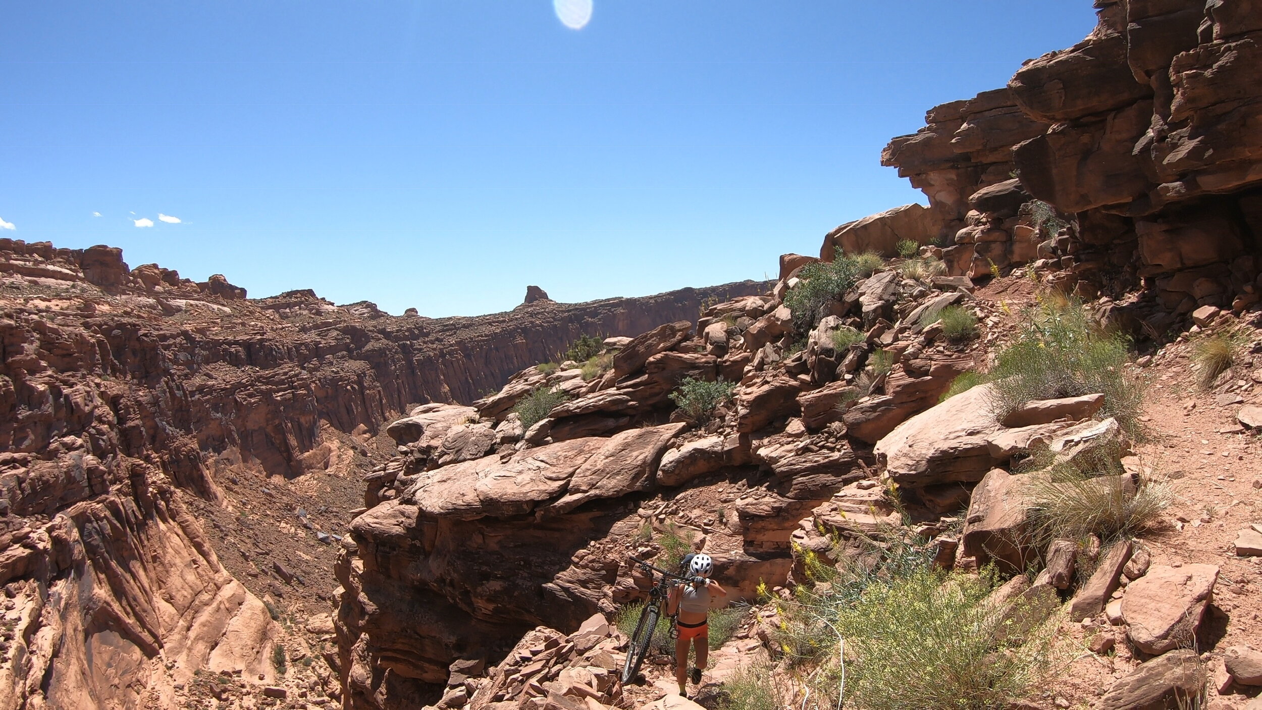
This MTB trail in Moab is one of the underrated spots as Slickrock solidifies most of the out-of-towners. The Hurrah Pass Amasa Back Loop is an old school Moab classic ride. After a steady 8 mile or so climb you come to Hoorah Pass. From here you can see Dead Horse Point and Island In The Sky way off in the distance.

After descending Hoorah Pass you wind and weave your way through some classic desert terrain and finally come to the base of Amasa Back that towers 800 ft above. Time to throw our bikes on our back and hike.. a very steep and rugged switch back trail to the top. I was not thrilled but somehow made it thru with a few scrapes.

To finish, you follow the rim of Amasa Back for several miles full of stunning views before descending back down the parking area. I made it the entire way, 21 miles without falling,.. until the decent.. we were passing a Jeep tour and my arms were famished.. I could see the finish.. hit a pebble and flipped right over the handlebars! Haha I was so proud of myself until that moment.

2.DinoPark_moab3.jpg

May 25, 2019: MOAB GIANTS | Moab, UT • 👟

This dinosaur park I had passed heading into Moab over 100x and finally got to inside!! It had a virtual tour with 3D glasses and all, with a walking path taking you through all the eras. Definitely a stop for the whole family 🦖🦖

day 18: DRUID ARCH 👟 5.24.19 by Tara Scieszinski

-MEDruidArch6.JPG

pt. 1: DRUID ARCH | Canyonlands, UT

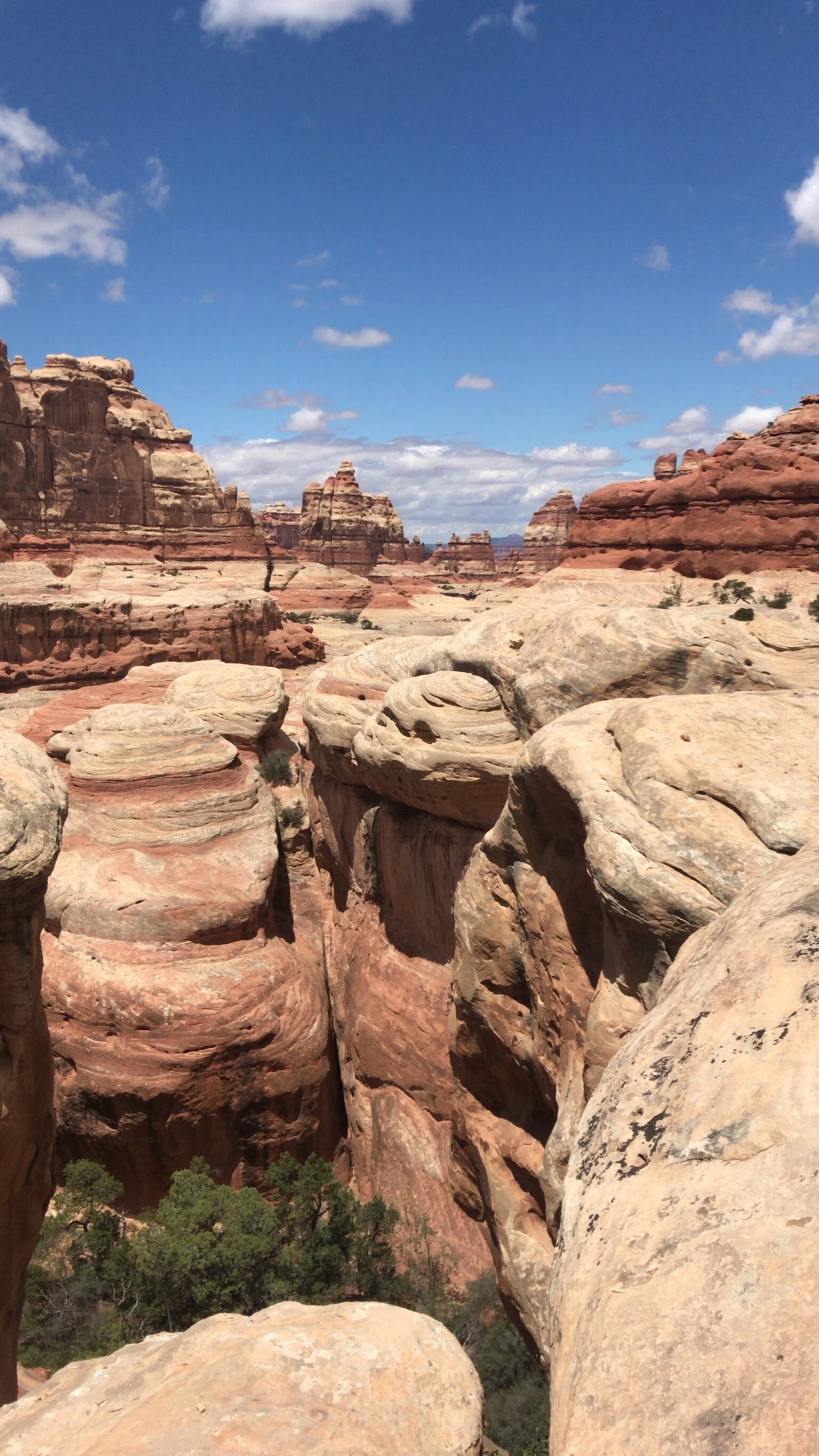
May 24, 2019: DRUID ARCH | Canyonlands, UT (Needles) • 👟

Incredible views.. enough said! Easy cruise to the arch and back.

-MESlickrock2.JPG

SLICKROCK TRAIL | Moab, UT

Slickrock Park | Moab, UT

Slickrock was tight. We rode a quick beginner’s loop to catch the sunset. I had some logos to work on and it was the perfect setting to get creative.. thank you AMO for continuing to put me to work! @designs__by__t

day 17: MONUMENT VALLEY 🚐 5.23.19 by Tara Scieszinski

1.MonumentValley_WOW.JPG

MONUMENT VALLEY TRIBAL PARK

May 23, 2019: MONUMENT VALLEY TRIBAL PARK | AZ + UT • 🚐

As I froze in my cocoon of a sleeping bag, I woke up startled and shivering.. to 5” of SNOW!! ❄️❄️❄️ We cleaned off the windshield and sat for a minute. Slowly feeling the soreness creeping in from the previous day.. we nixed the original plan to do the Bright Angel Trail.

So we threw on a few more layers of clothes, hopped (back) into the van and began heading north toward Moab. This time it the agenda was to try some new trails (other than Slickrock), check out another section of Canyonlands (Druid Arch in The Needles portion) and eventually continue onto Salt Lake - a bucketlist spot I’d always wanted to snowboard, but apparently they have just as good of riding!

First and only stop along the way was Monument Valley, one of the most photographed places on Earth. This historical valley consists of 16 miles of Navajo Land, 5,564 feet above sea level with impeccable views just like the old western movies. We drove through the most iconic areas and later found out there was a tour (again, controlled by Navajo) so you could either pay entry fee and drive yourself or get a Jeep and tour guide to explore this rocky trail closer through the monuments (can see the cars in the photo above). We had already taken in some incredible views so we continued on toward Moab - however, that would certainly be something to try next time!

day 16: GRAND CANYON NATIONAL PARK 👟 5.22.19 by Tara Scieszinski

-ME_GC7.JPG

GRAND CANYON NATIONAL PARK

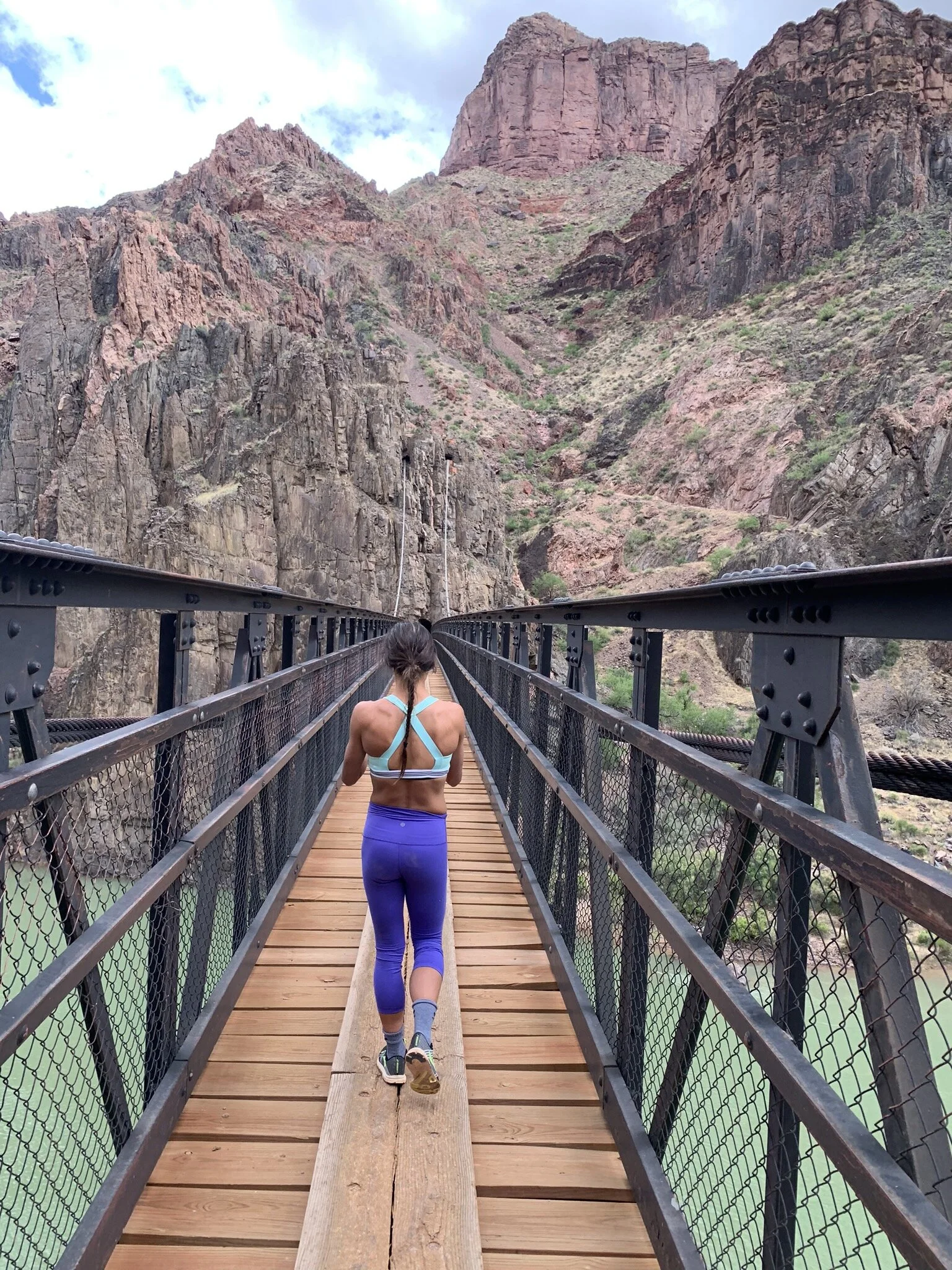
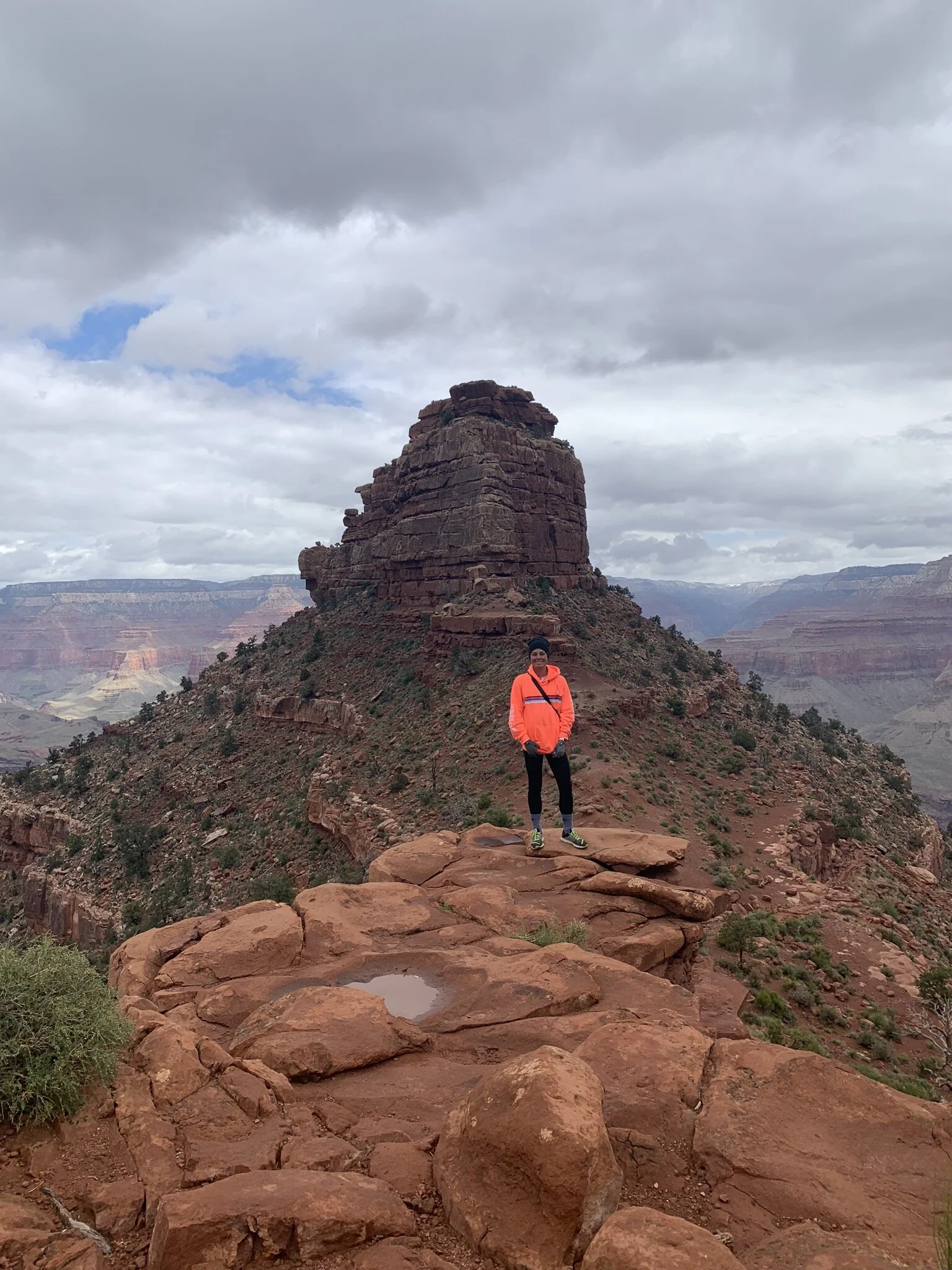
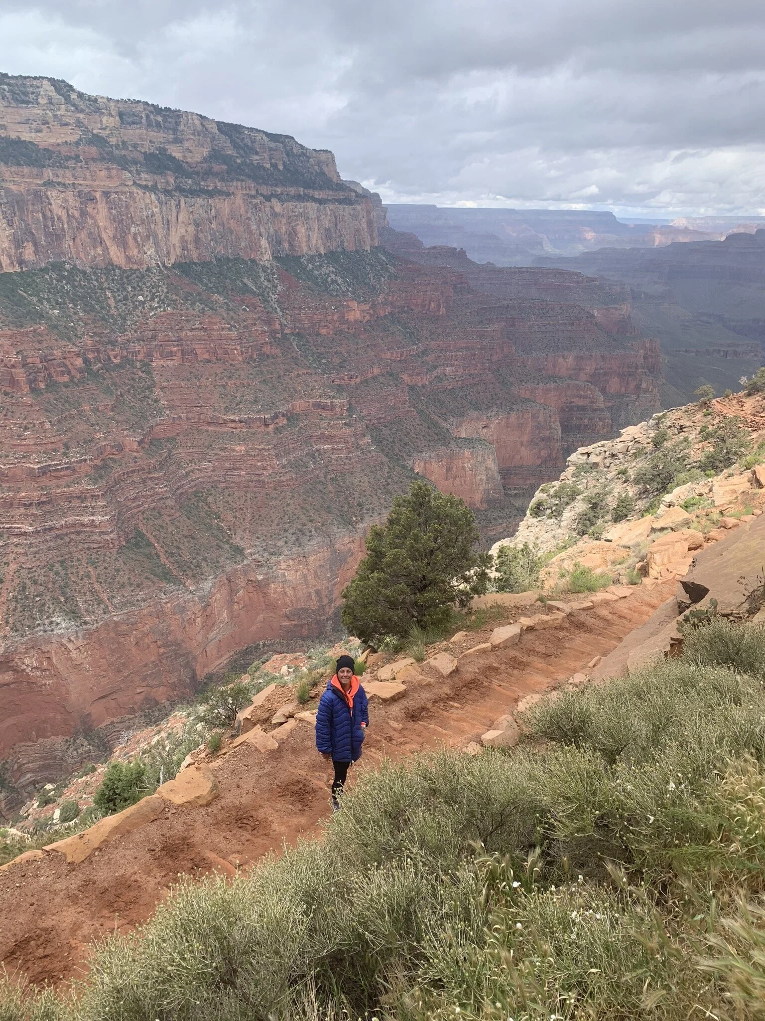
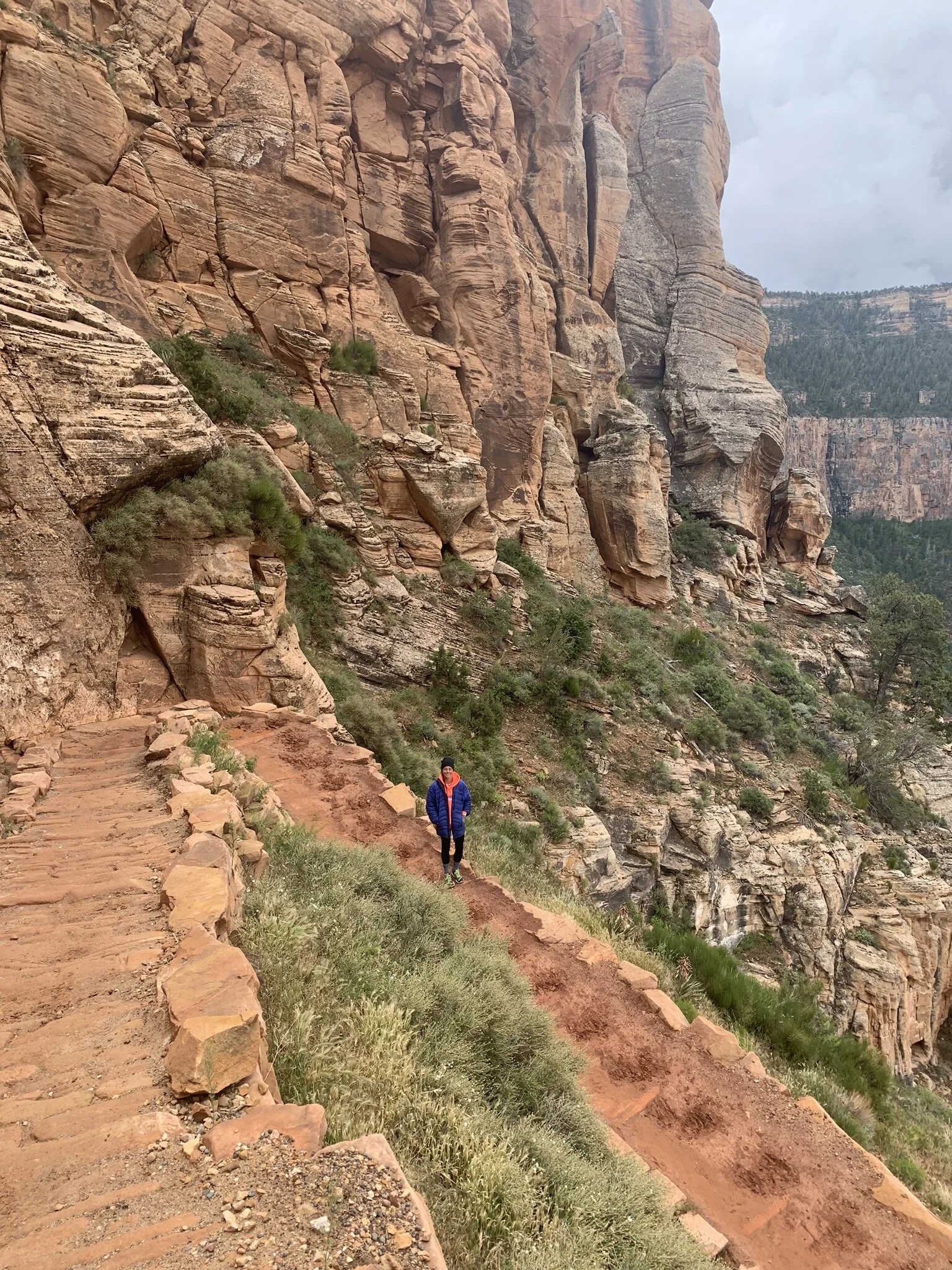
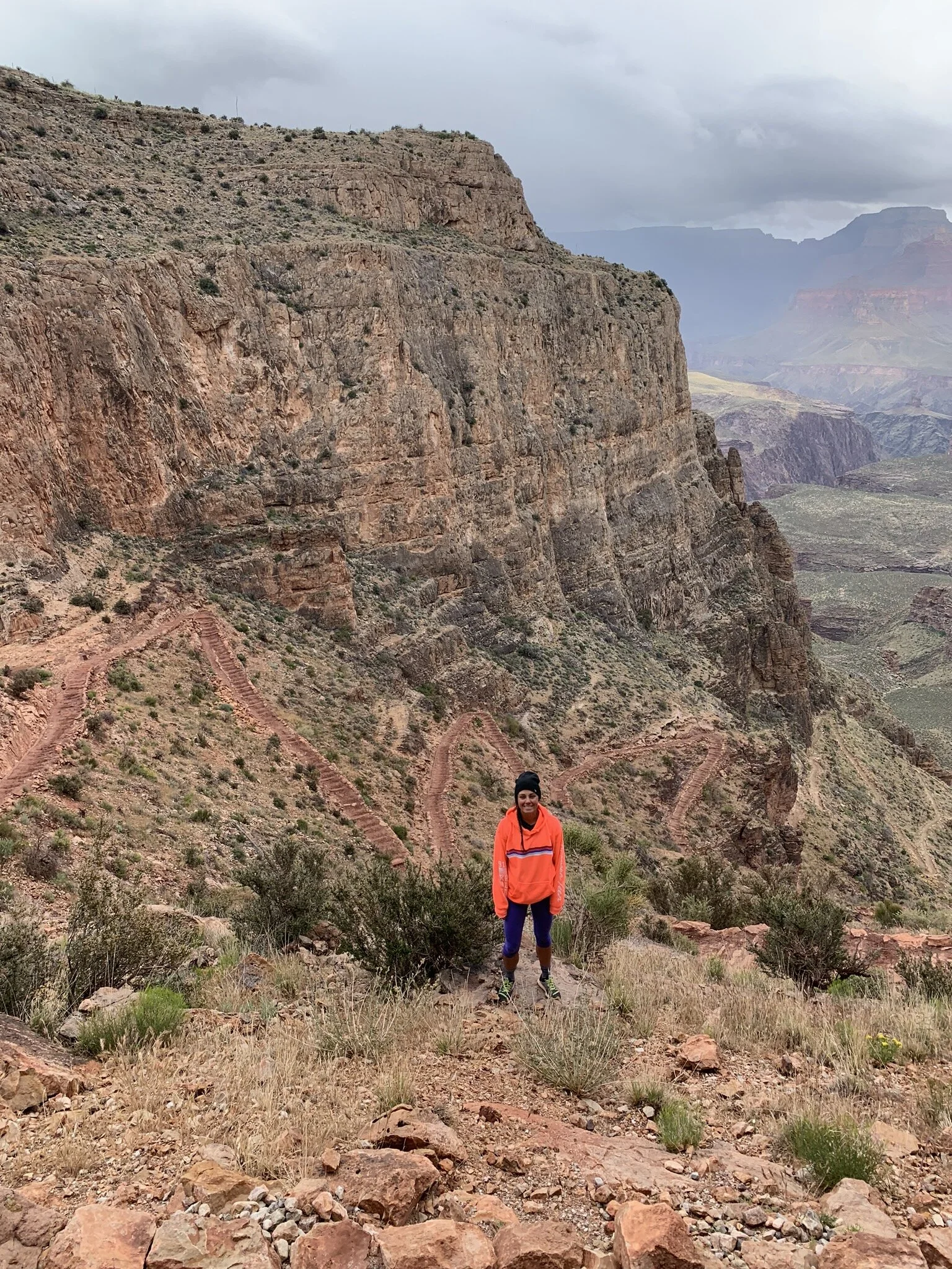
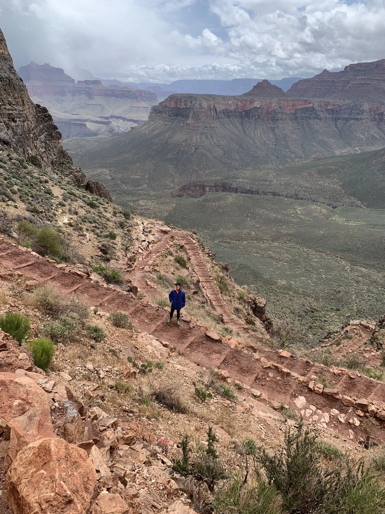
May 22, 2019: SOUTH KAIBAB TRAIL | Grand Canyon National Park, AZ • 👟

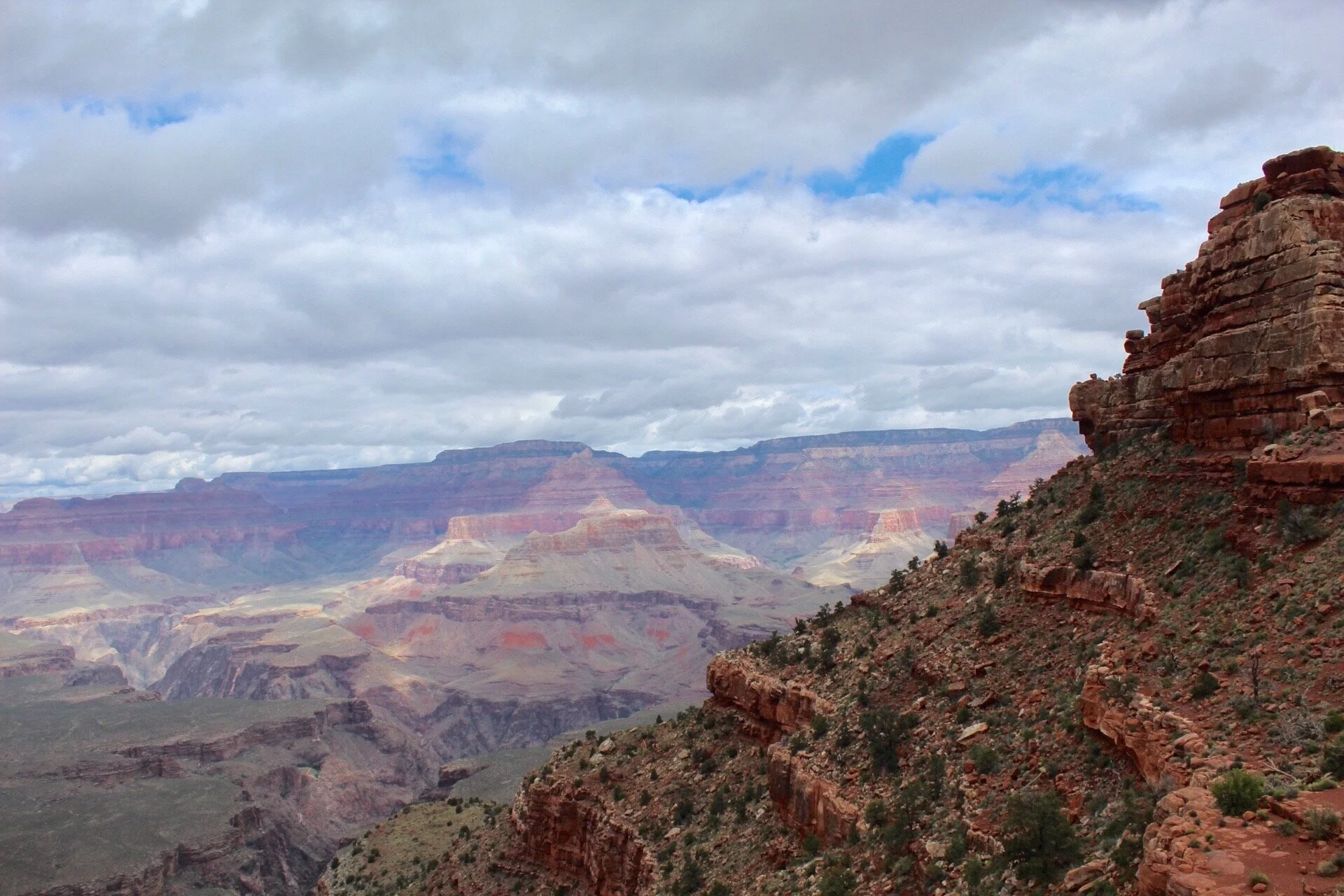
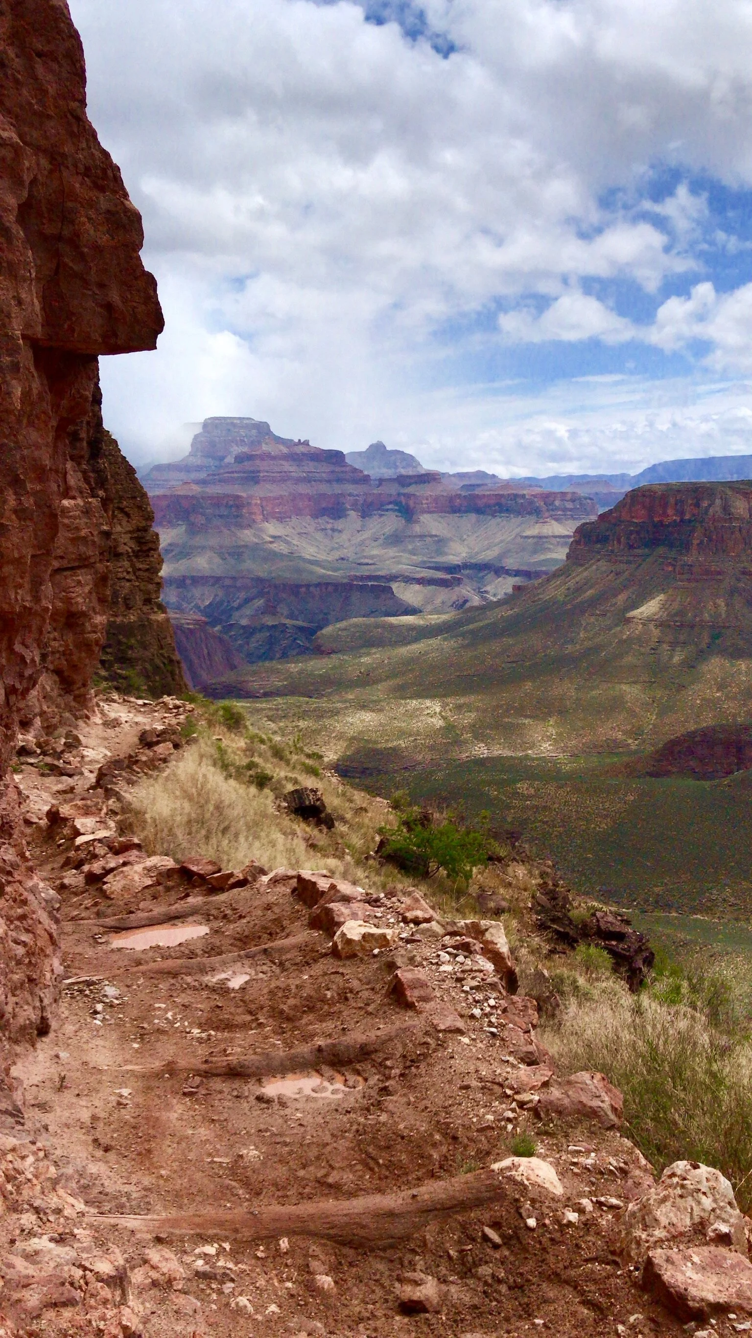
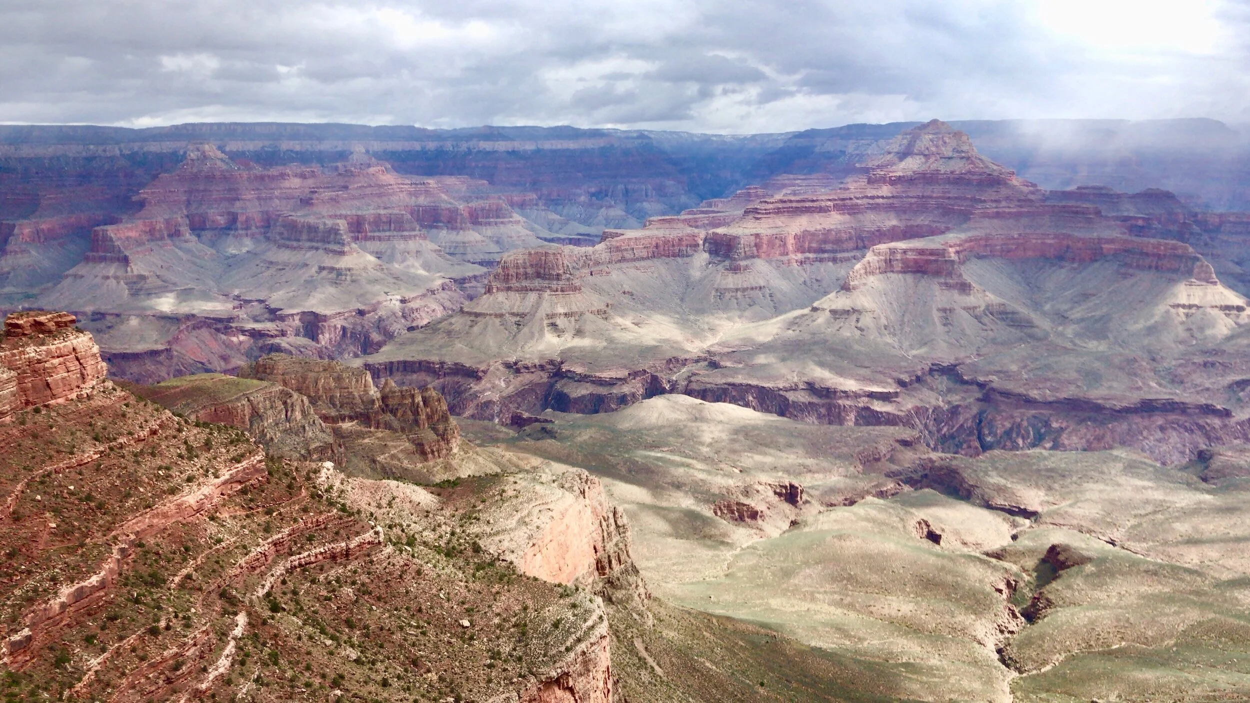
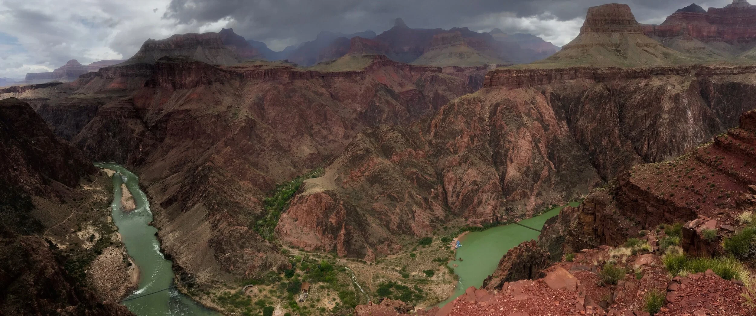
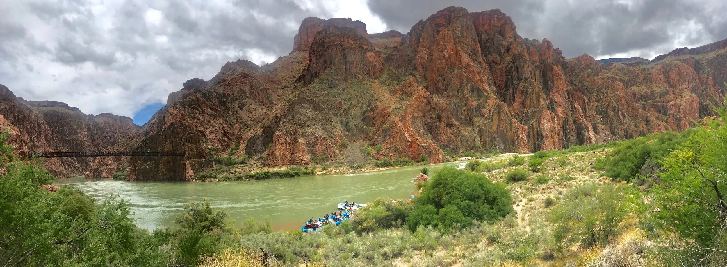
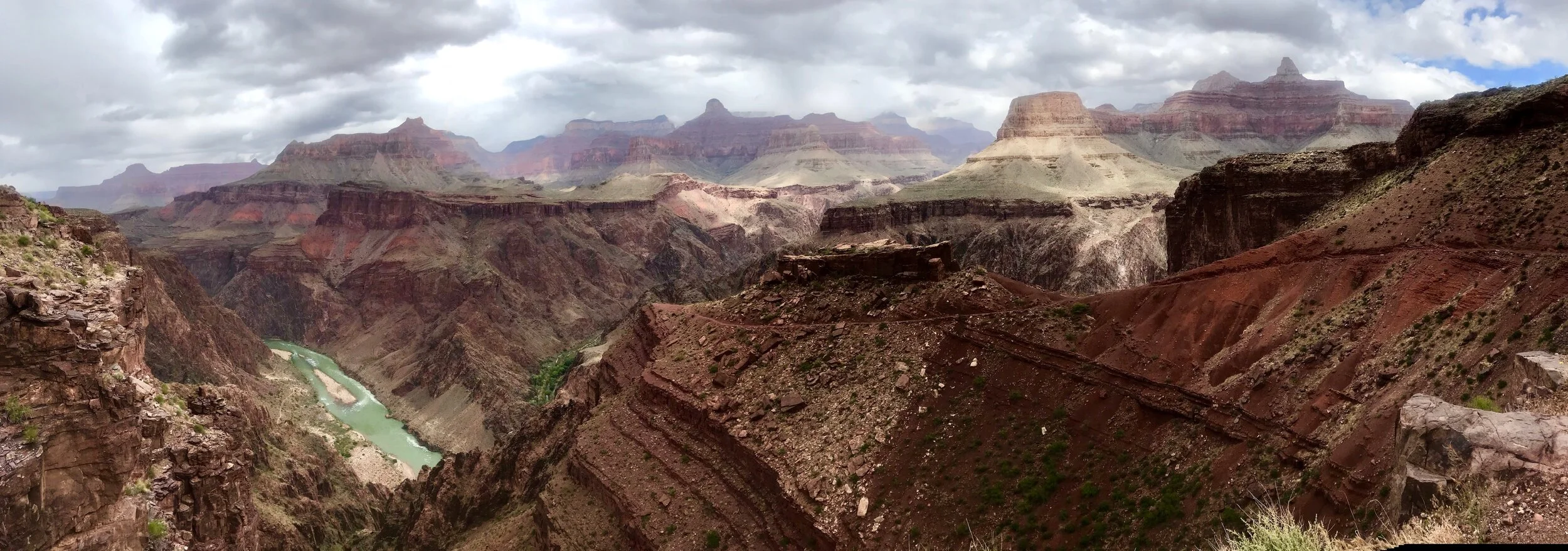
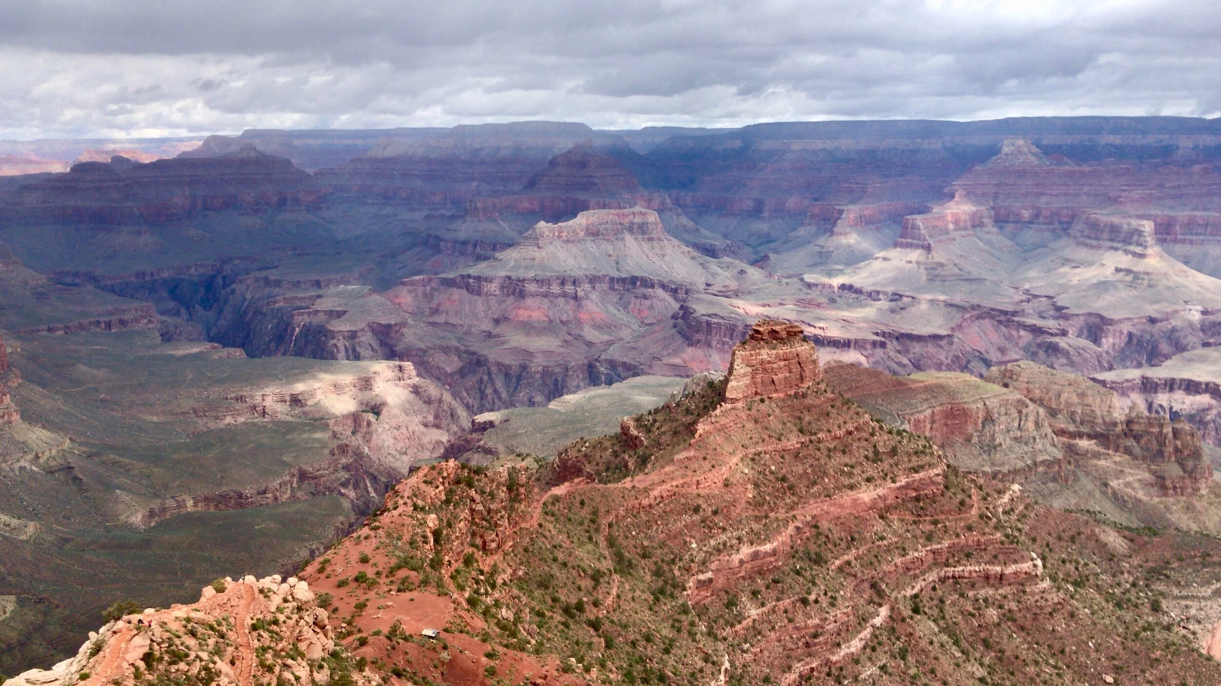
The Grand Canyon. How can you begin to describe it in words.. spectacular, magnificent, incredible, amazing, breathtaking. A major tourist destination with throngs of people from literally all over the world, milling about the South Rim.

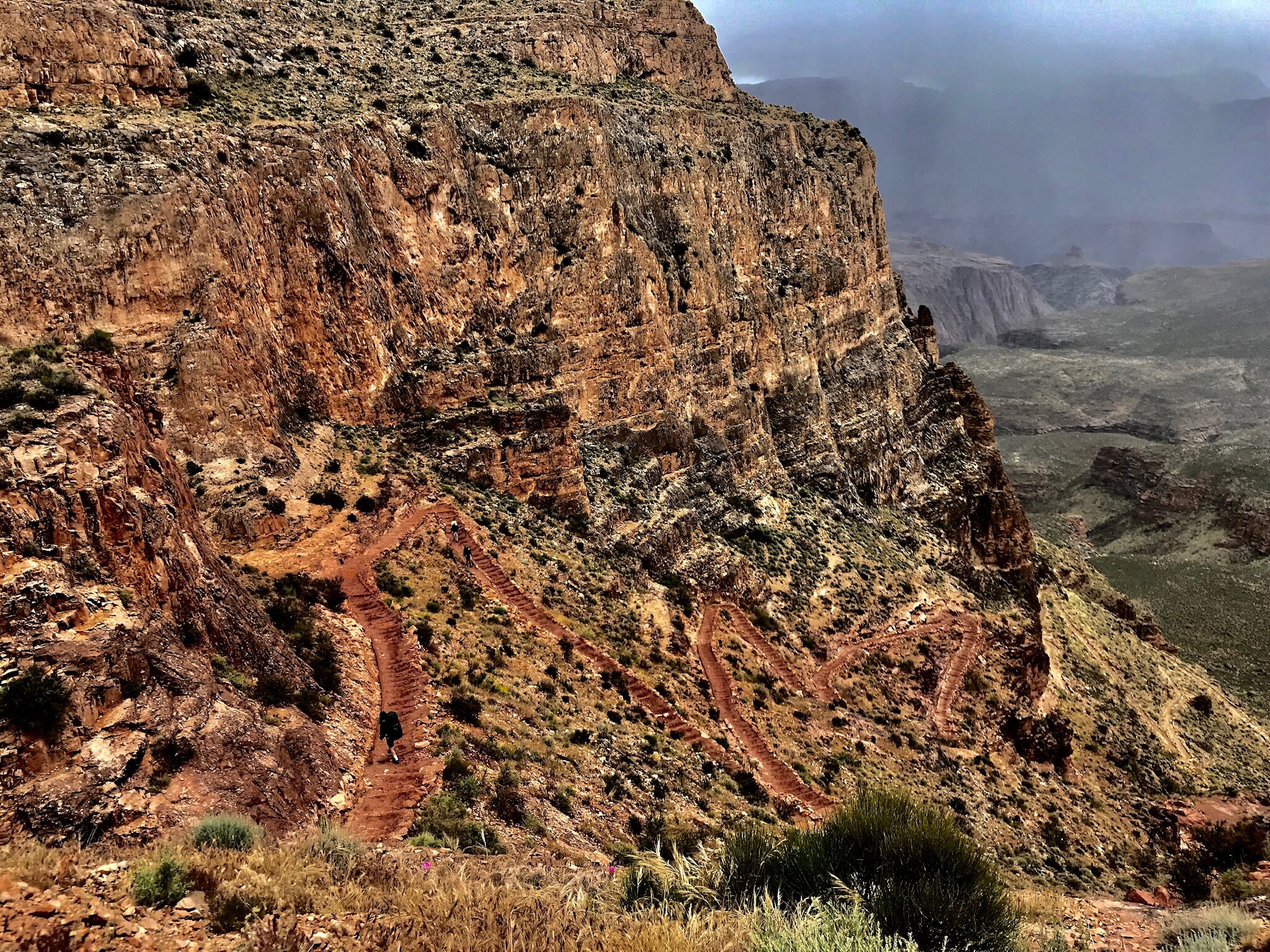
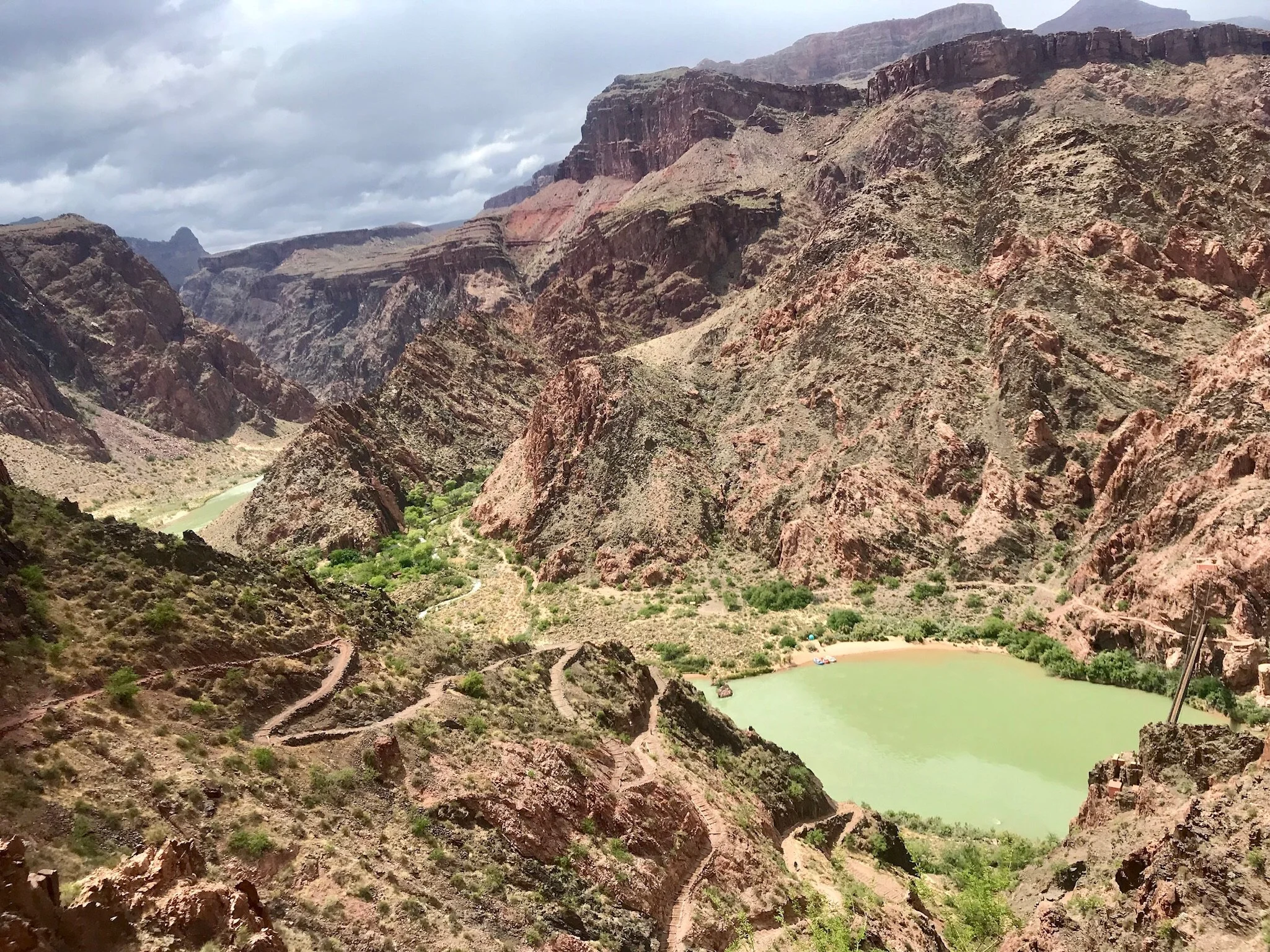
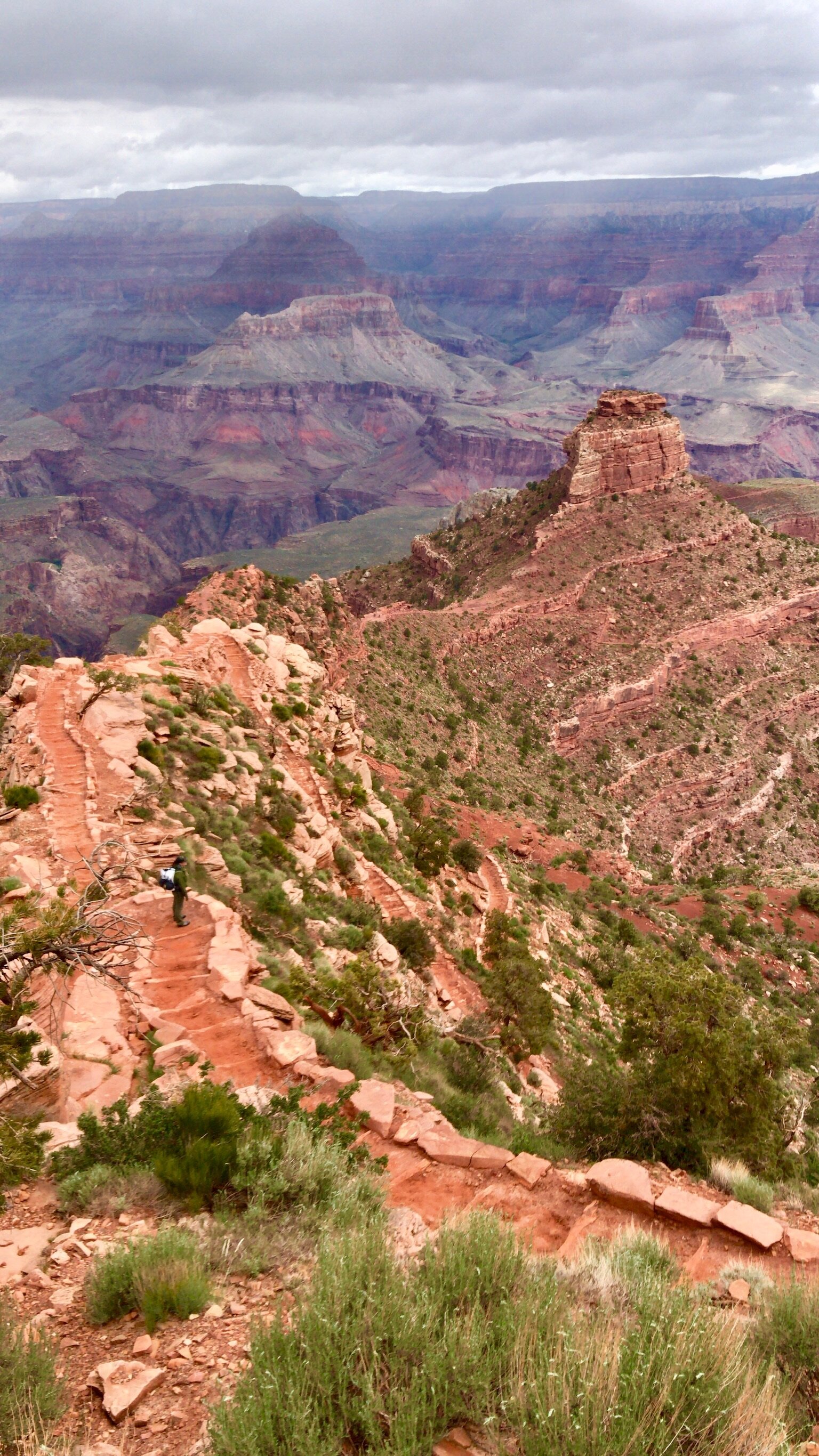
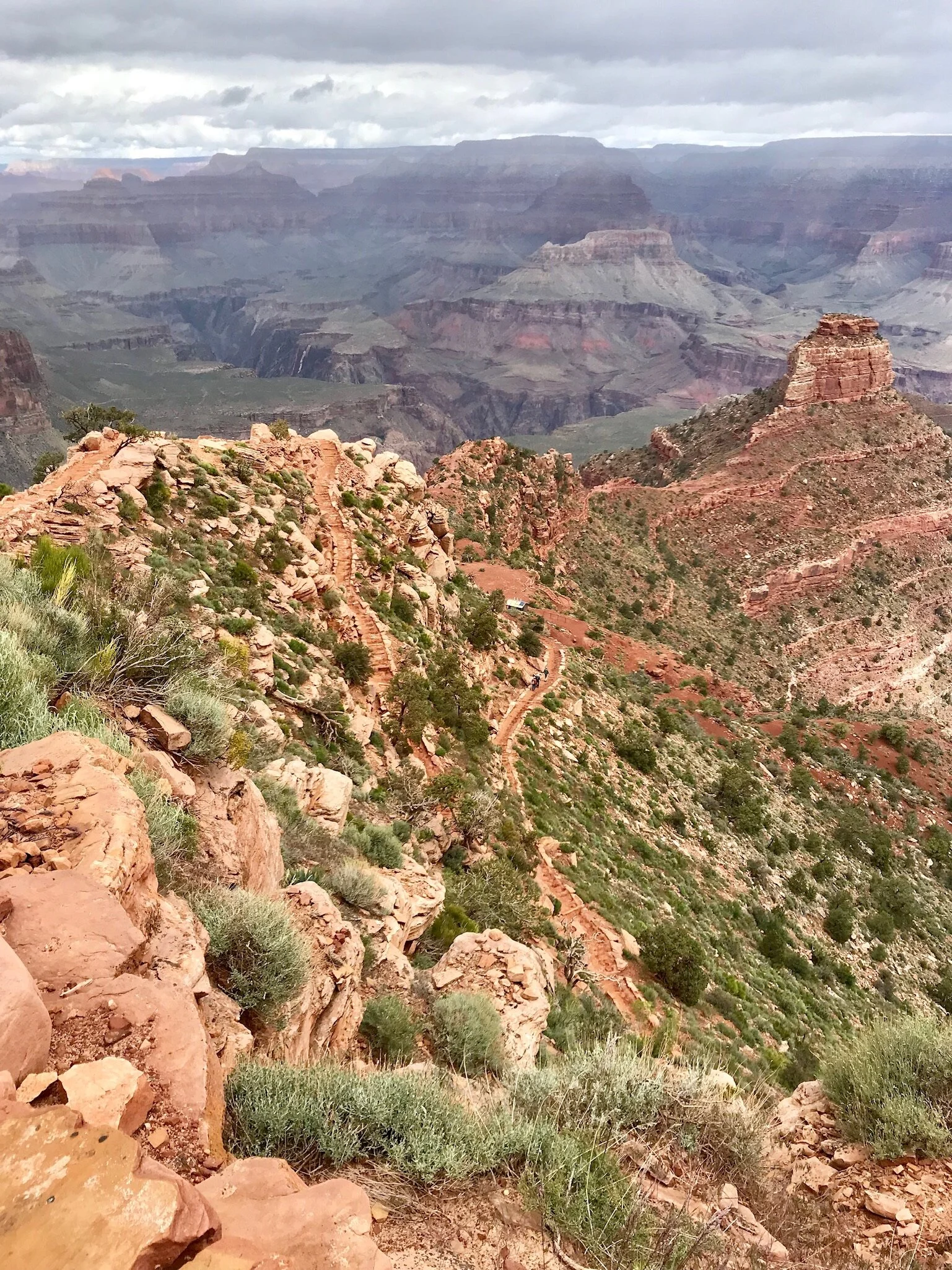
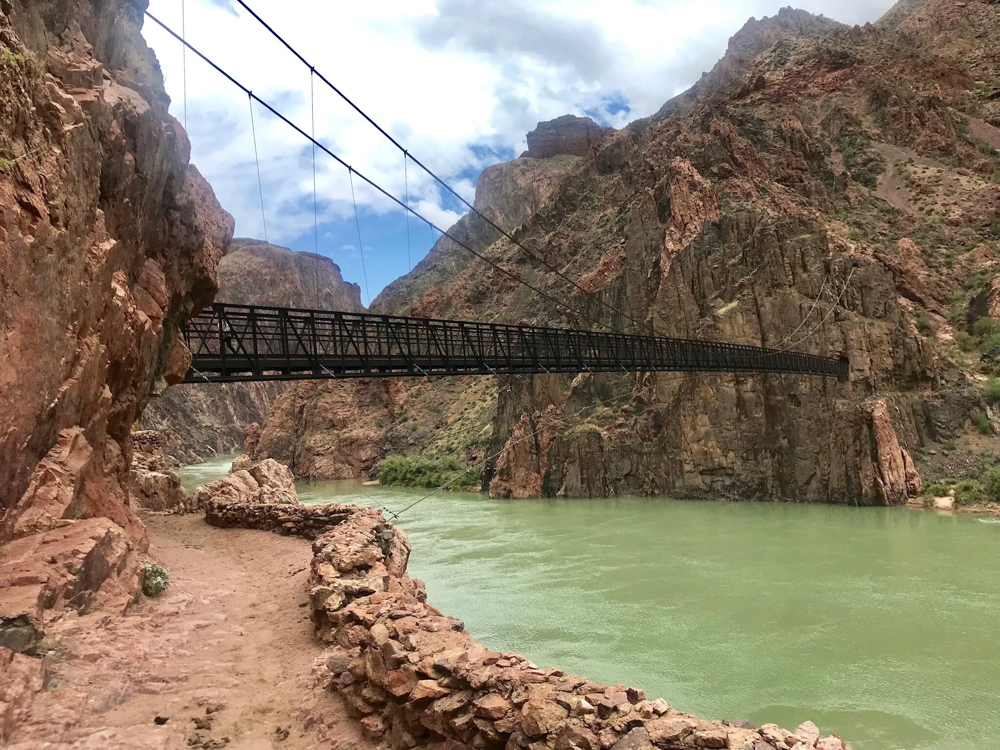
We chose the South Kaibab trail to explore into the canyon. From the canyon rim it’s about 5400 vertical feet, approximately 8 miles to the Colorado River.. we chose to hike back up to where we started. People have been known to do “Rim to Rim” exploring both the north and south, within a few days or all at once, but we figured this was plenty to explore within our timeframe.

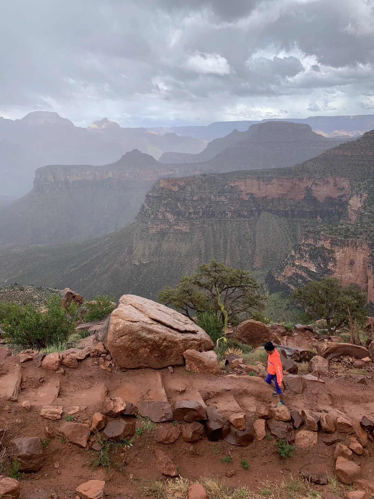
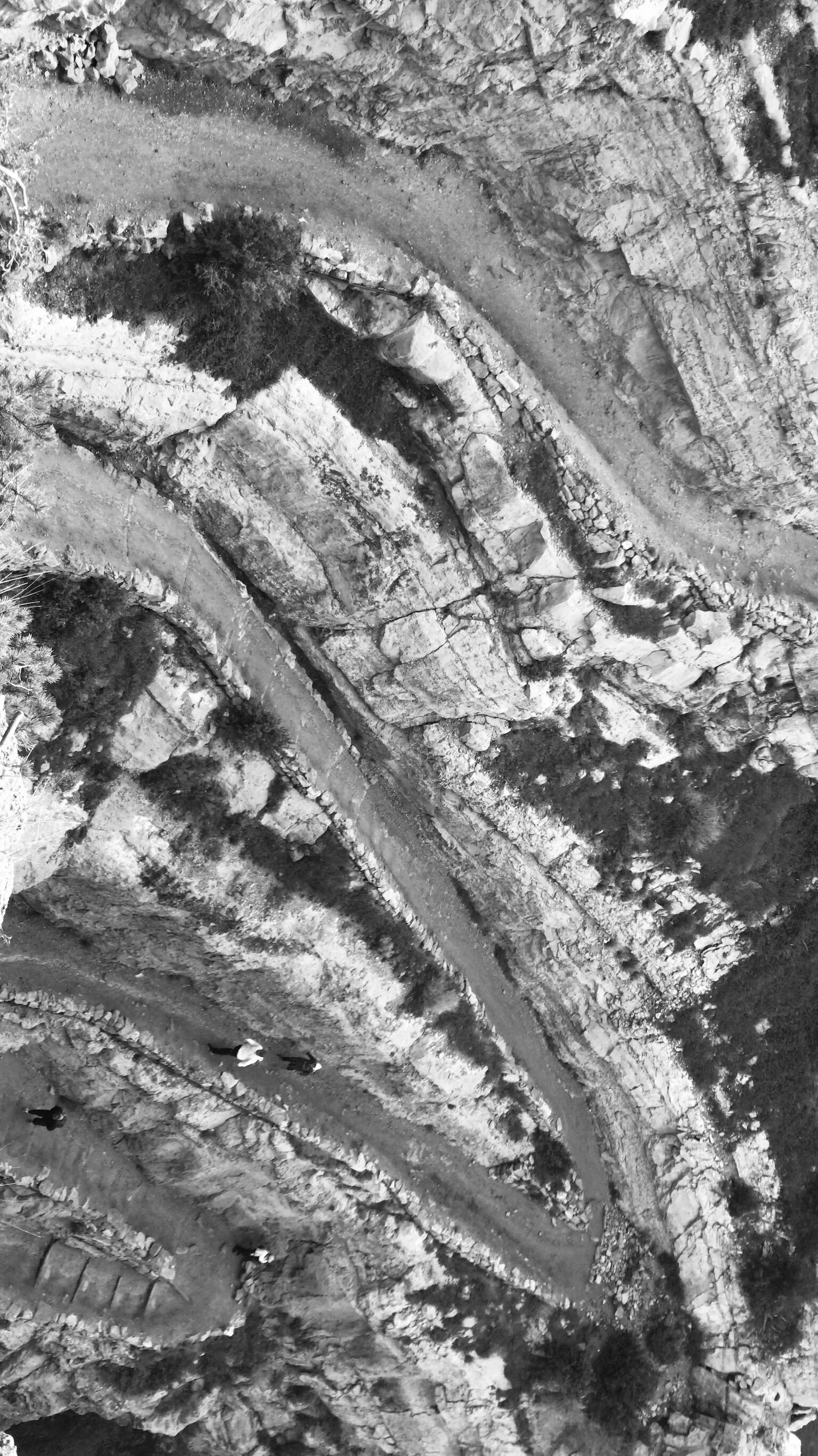
The morning was cold enough to start out in down jackets, hats and gloves! The first mile or so on the decent we encountered quite a few people..after that the crowds thinned out by mile 3. There were a few mule tours so you certainly needed to watch where you were stepping! One thing to note is that the vast majority of people who visit the Grand Canyon never leave the rim.

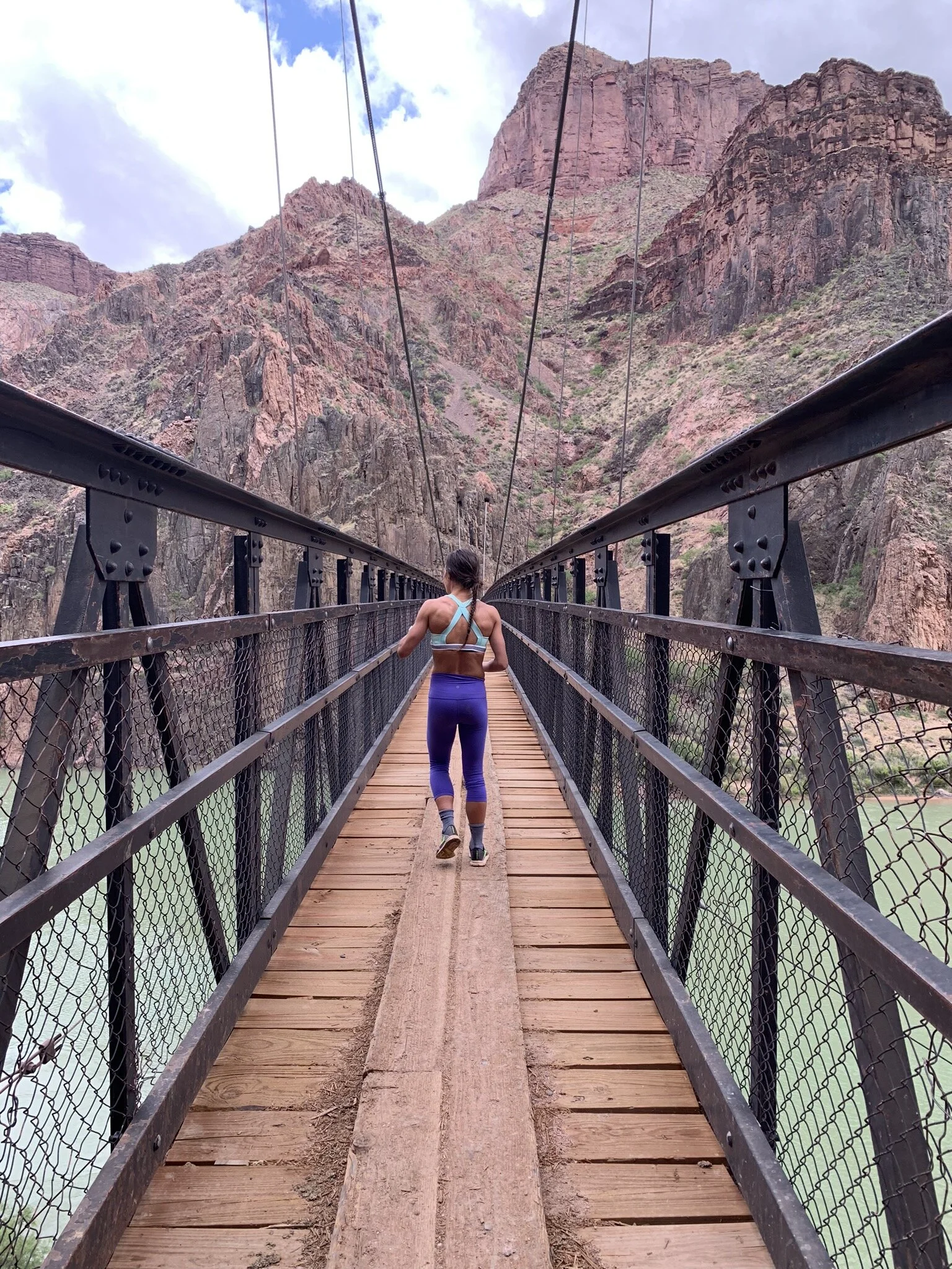
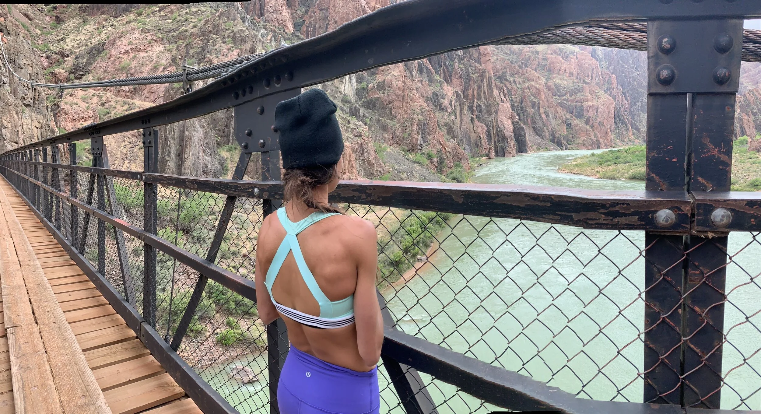
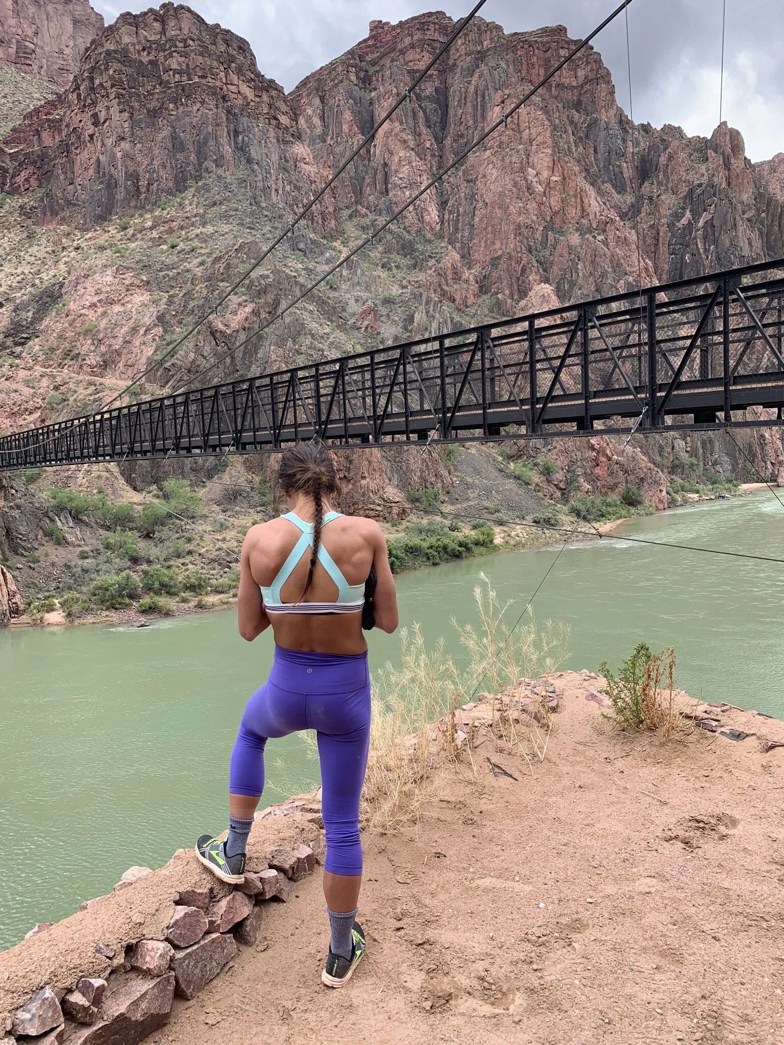
By the time we had descended the 5400 ft to the canyon floor all our layers had been shed and put away in the day pack. It was beautiful and warm at the bottom of the canyon. We chilled out at the river for an hour or so, ate some snacks and started our ascent back to the canyon rim, by which time coats and hats were needed again! Caught a bit of rain, sunshine, hail, rain, sunshine, wind.. was a whirlwind of a day!

What a great hike; 16 miles of pure beauty in every direction. I took so many photos.. hence below.. and thats’s even after deleting 200..

That evening we had Pizza Hut (haha, my favorite!), drank a few beers at a bar with saddles for chairs, and slept better than I had the entire trip. The next morning we were in for a heck of a surprise!

DAY 16 RECAP: climb: 4843 ft • distance: 14.8 + 2 = 16.8 mi

day 15: SEDONA, AZ 🚲 + GCNP 5.21.19 by Tara Scieszinski


pt. I

WEST SEDONA TOUR (attempt #2)

May 21, 2019: WEST SEDONA TOUR (attempt #2) | Sedona, AZ • 👟

Weather was looking much better so we gave the Tour of West Sedona another shot. It was a fun 12 mile ride.. challenging.. hikers along the way.. looped back around some similar country as yesterday. Full stone cliffs and generally solid single track with some chunky slabs here and there. At one point of the trail we stumbled upon a group meditation session, smack in the middle of a fork.. nearly hitting them we apologized, got some weird looks and were back on our way. This is Sedona, after all. Gorgeous routes, but took a bit of getting used to stopping to double check the map every few miles.. whereas routes I’ve done so far are a bit more self explanatory. I’m sure I’d get a better grasp after riding a few more times!

climb: 1002 ft • distance: 12.4 mi


2.Cathedral_4.JPG

CATHEDRAL ROCK 👟

Quick stop to the Cathedral Rock; my childhood friend Emily had taken me here a few months prior but we didn’t make the time to check out the Chapel of the Holy Cross, built in the side of the rock. What a spiritual place. There is a small area to reflect and kneel in the chapel.. crazy to think they have mass and even weddings inside. I got Emily and family a few bracelets at the gift shop downstairs, as Sedona will forever remind me of our adventure together after her father passed and but before they had yet to move yet again, to New York!


pt II

*VID_GCNP2.JPG

GRAND CANYON NATIONAL PARK | AZ • 👟

We made it!!! To be continued.. the South Rim hike and photos tomorrow!

DAY 15 RECAP: climb: 1002 ft • distance: 12.4 mi

day 14: SEDONA, ARIZONA 🚲 5.20.19 by Tara Scieszinski


pt. I

AZ_Deadhorse8.JPG

WEST SEDONA TOUR

May 20, 2019: WEST SEDONA TOUR (attempt #1) | Sedona, AZ • 🚲

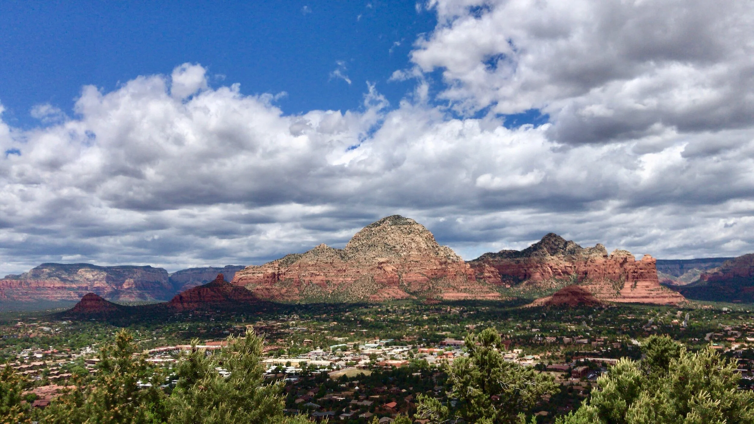
Sedona, Arizona is about 4300ft above sea level, nestled in a valley with vibrant sandstone cliffs all around. There tons of hiking and biking trails near town. When I think of the south, especially the desert, I picture it being hot and dry all the time...but today it was a pretty chilly with thunderstorms galore. I guess May can be unpredictable anywhere in the world.

Looking at the radar, figured we’d better get out as early as possible to try and beat the weather.. made it about 4 miles in and it started down pouring. Luckily, found a corner of shelter near a restroom during the aggressive storm.. It wreaked but at least we found a bit of relief! After 30 min of rain to hail back to rain, we tucked in and rode the rest of the way back to the van.. drenched and freezing but at least got to see a portion of the WS Tour!


pt. II

AZ_Deadhorse2.jpg

DEAD HORSE RANCH STATE PARK

May 20, 2019: DEAD HORSE RANCH STATE PARK | Sedona, AZ • 🚲

Got changed to some dry and warm clothes and headed back into town.. I was hangry so we decided to grab breakfast at a strange little place that turned out to be damn good.

While eating my new favorite meal, green chili relleno, and drinking 4 or 5 cups of coffee we remembered the folks at Over the Edge Sports (Sedona) mentioned Dead Horse Ranch State Park - it wasn’t too far and hopefully a little less busy. So off we went! Ended up doing a quick 10 mile loop and stayed dry but all around rain storms were brewing.


pt. III

AZ_Deadhorse7.jpg

TEACUP TRAIL

May 20, 2019: Teacup Trail | Sedona, AZ • 🚲

Later that evening the rain had cleared so we went on a nice little hike above Sedona to cap off the day.


pt. IV

AZ_Deadhorse4.1.JPG

JUST KEEP SWIMMING | Sedona, AZ

May 20, 2019: Sedona, AZ • 🐠

Had very few opportunities to hop in the water - happened to find a pool nearby and was able to get some laps in. I don’t think I was ever fully dry.

In and out of weather, we made our own little Sedona Tour which was great! I had hiked some of the classic Sedona routes with my cousin Chris and friend Emily in the past, but hadn’t had the chance to MTB or see it all.. and still hadn’t! Sedona is massive and trail systems are extensive.

Only thing that would have been better was to somehow meet up with my childhood friends Emily and Nick that recently moved to Phoenix or my cousin Chris that had been living in Phoenix / Scottsdale area for the last 10+ years.. I was able to see them prior and hopefully again soon - I was slowly realizing AZ was added to my list of places to look for jobs and decided I was definitely coming back!

DAY 14 RECAP: climb: 1200 + 378 + 0 = 1578 ft • distance: 14.4 + 3.4 + 1.5 = 19.3 mi

day 13: ANTELOPE CANYON • HORSESHOE BEND • GC • 5.19.2019 by Tara Scieszinski


pt. I

-ME_AntelopeCan3.JPG

ANTELOPE CANYON

May 19, 2019: Antelope Canyon | Page, AZ • 👟

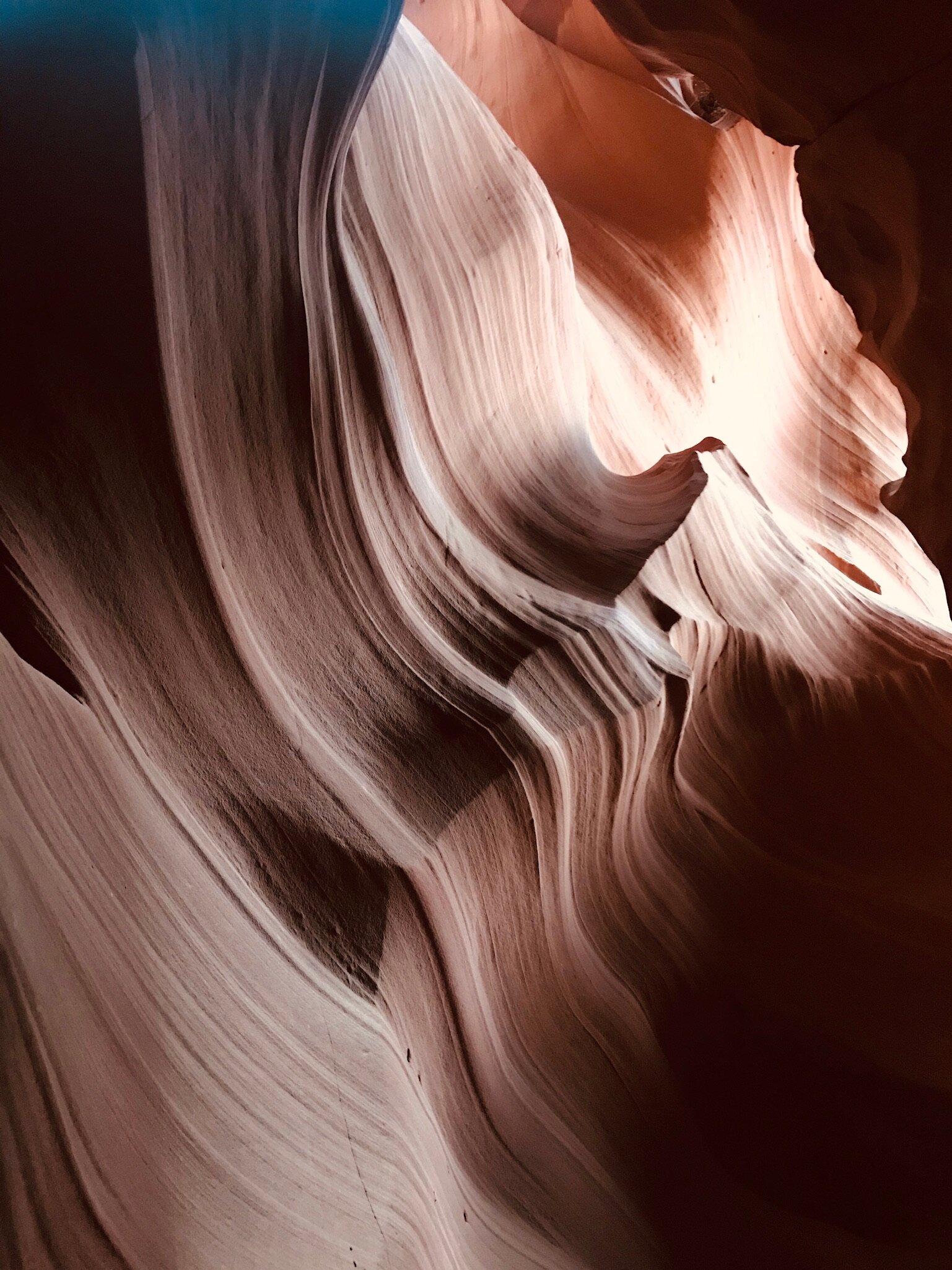
Upper Antelope Canyon was the only organized tour of the trip. It’s the only way to explore the canyon as it lies on a reservation. So we booked the first trip out in the morning and were picked up in vans. Our Native American guide was amazing; he had a lot to talk about on the 45 minute shuttle ride up a dirt road to the site. I got to sit shotgun thank goodness, as I was a bit hung, made for all the more erie of an experience.

Once we parked, it was a short walk into the slot canyon that had an array of ribbon like rock features. It’s not physically exhausting but just a beautiful place to wander around, 1 direction through the canyon. If I could have had my way we’d cut back the tour group to about half to avoid a million random people in site. However, we were very lucky the trip still ran, as it was almost cancelled due to the weather and cloudiness; we still captured some solid material!


pt. II

2.HSB_2.JPG

HORSESHOE BEND

May 19, 2019: Horseshoe Bend | Page, AZ • 👟

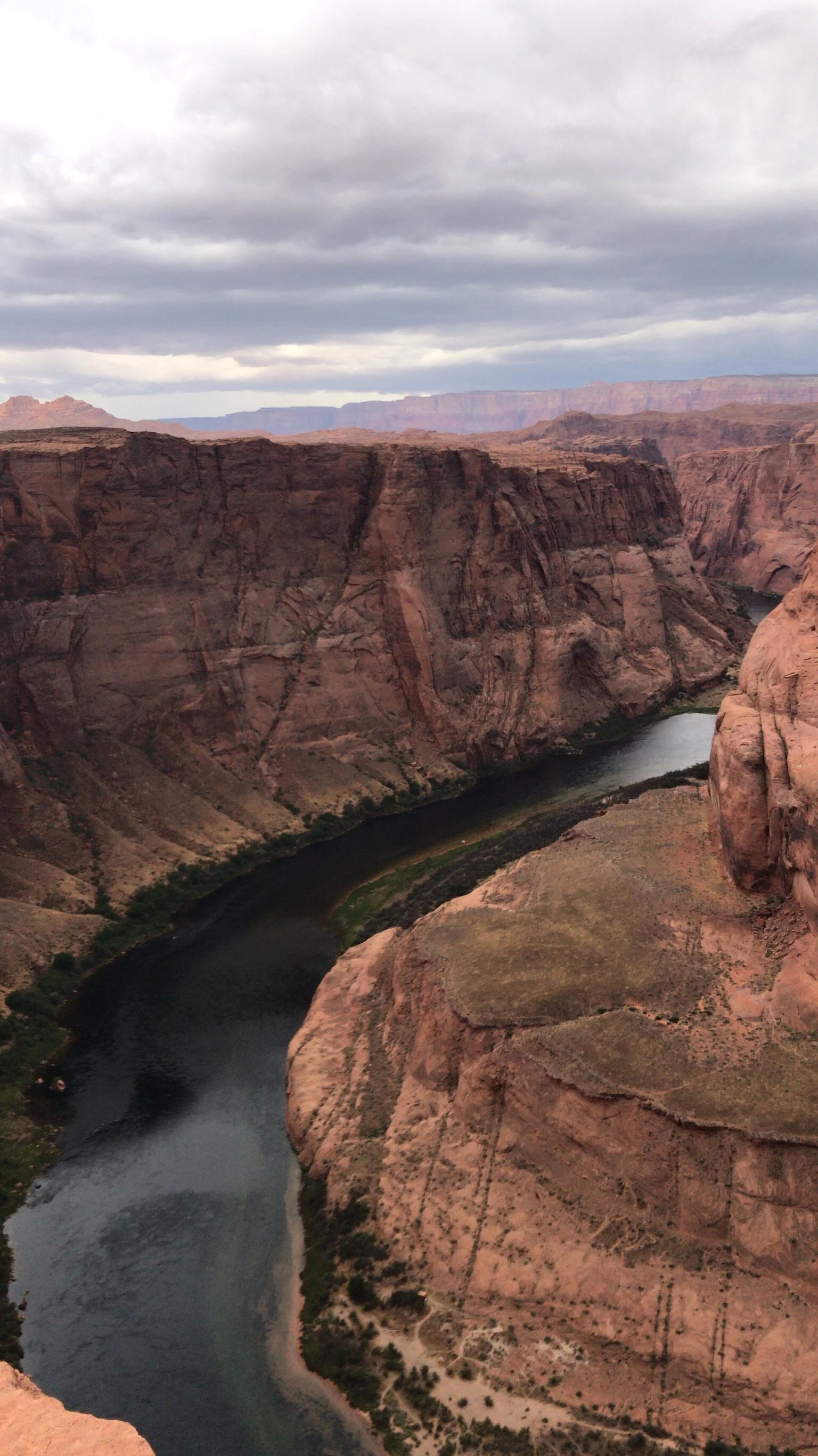
After returning to Page and jumping in the van it was time to travel. Next stop was Horseshoe Bend, a feature on the Colorado River below Glenn Canyon Dam which is essentially the starting point of the Grand Canyon from that direction. You can park and hike maybe a quarter mile to the canyon overlook. I was in awe; I’ve seen photos of the bend but think I must have mentally looped it in with the Grand Canyon. Another place added last minute on the way to the GC. It was PACKED with people even though we got some weather - it started hailing and was windy as ever; I almost lost my hat! The views were epic, I’m so glad we stopped.

3.GCsnow1.JPG

Grand Canyon.. attempt #1

May 19, 2019: The Grandest Canyon National Park, AZ • 👟

After Horseshoe, the plan was to camp at the Grand Canyon.. get a quick scenic hike in and rest up for the next day of the South Rim Trail. Welp, 2019 was a wet spring in the high desert country and after buying a crapload of firewood, taking a peek at a whole lot of snow covered rock and catching some snowflakes, we opted to head south to Sedona hoping to catch The Grand Canyon on our way back north toward Salt Lake. After a day of those views, I was totally ok with that. and stoked to explore even more famous MTB routes I’d heard so much about!